Product Overview
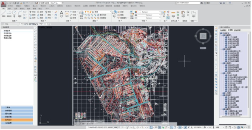
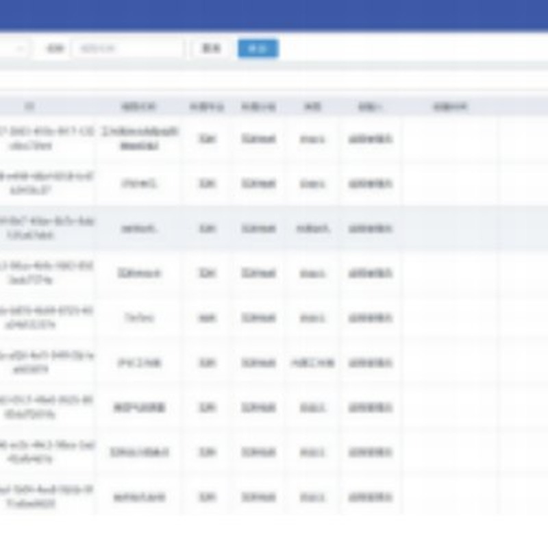
The Multi-Disciplinary Collaborative Design Platform adopts a distributed C/S + B/S architecture built around a one-map collaborative workspace shared by geology, gas, surveying, reserves, hydrology and ventilation teams. It provides a geological model library for multi-disciplinary collaboration and standardized data management, enabling mining enterprises to consolidate professional design work into a single, coordinated digital environment.
Product Description
Mine design and production planning involve multiple professional disciplines whose data has traditionally been scattered across isolated software packages, file cabinets and informal handover channels. The Multi-Disciplinary Collaborative Design Platform breaks down these silos by creating a unified GIS spatial database governed by common data standards. Geology, gas, surveying, reserves, hydrology and ventilation engineers work on the same spatial foundation, managing geometry and attribute data and customizing their own display structures across CAD and 2D/3D GIS platforms.
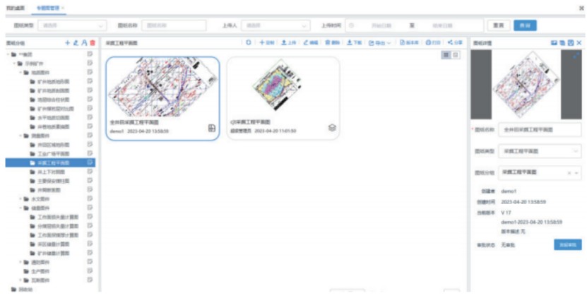
Because drawings and layers are managed in a standardized and coordinated manner, revisions propagate consistently across all participating disciplines, eliminating the version-confusion and data-inconsistency problems common in legacy workflows. The distributed C/S + B/S architecture gives design teams desktop-grade performance for heavy modeling tasks while allowing management and review through any web browser. The platform's geological model library preserves institutional knowledge, turning years of survey and production data into structured assets that support both day-to-day coordination and long-term mine planning decisions.
Key Features
- Distributed C/S + B/S architecture for scalable multi-user collaboration
- One-map collaborative workspace for geology, gas, surveying, reserves, hydrology and ventilation teams
- Geological model library enabling standardized data management across disciplines
- Unified GIS spatial database with common data standards
- Management of both geometry and attribute data
- Customizable display structures across CAD and 2D/3D GIS platforms
- Standardized, coordinated drawing and layer management
Technical Specifications
| Parameter | Value |
|---|
| Architecture | Distributed C/S + B/S |
| Collaboration Model | One-map shared workspace across six professional disciplines |
| Spatial Data Foundation | Unified GIS spatial database with common data standards |
| Platform Compatibility | CAD and 2D/3D GIS platforms |
Applications
Coal and metal mine design coordination, geological modeling and resource management, multi-disciplinary mine engineering collaboration, and digital mine construction projects.
![]()
![]()
![]()